The afternoon map studying the day before was due to the weather forecast which, for the last 2 days, had been consistently predicting rain in 18 hours time. Thus it appeared we would have an early morning of sunshine to tackle the daikiretto before the rain set in later in the day. Like a certain Japanese professor's record of predicting 10 of the last 3 El Niño events, this time we may recall the forecast as being accurate.
There was a bit of cloud on the horizon so the sunrise wasn't actually sunny. This is back along the way we had walked the day before, with a sneaky illegal camper now revealed in the dawn light.
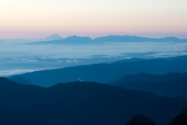
Spot Fuji-san!
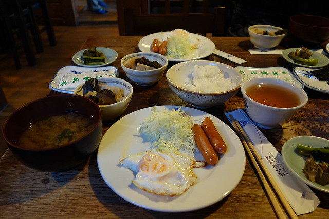
The Kita Ho breakfast has not changed in the last decade. It is James' favourite hut breakfast. Well it is James' favourite hut all round. But don't get too excited, the eggs and sausages are luke warm at best, if you're lucky.
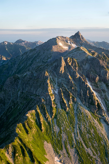
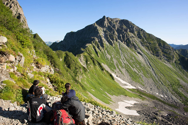
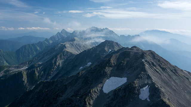
After breakfast, the sun was up at last, lighting our route for the day ahead. I sent this photo to my Dad who remarked that the Daikiretto is the
Striding Edge of Japan. While I can see the point of view, and people do also manage to die on both bits of mountain, I feel there is perhaps a slight mismatch in scale.
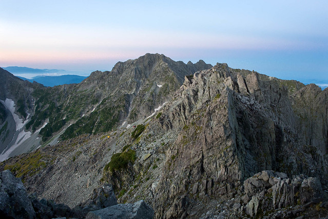
The descent starts straight out of the hut with 350m straight down.

I wouldn't want to do it in wind, rain and ice, but this bit seems to be getting easier and easier. We were wondering whether the rocks had tilted to make it less vertical.

At the first col we all stop to admire the view. Just past here, there was a disconcerting stretch (approximately where the
three red death spots are on this map), where pale patches of newly exposed rock indicated where previously apparently secure handholds had been last time we passed by.

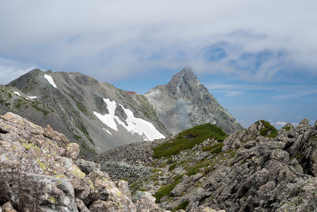
The Kita Ho hut where we had spent the night, is visible in the next photo, sticking out just below and left of the summit.
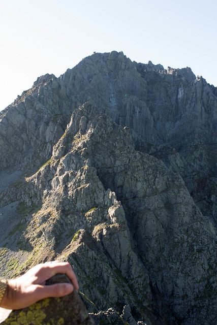
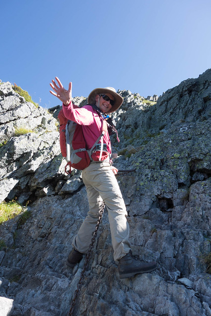
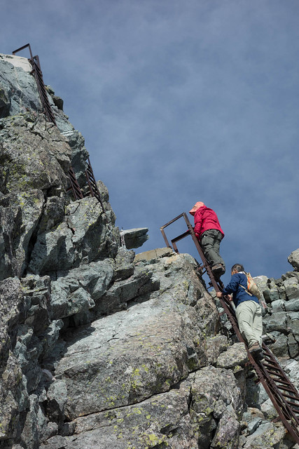
The other side is, I think, the easier, as it is so steep that there are more ladders,

and chains.
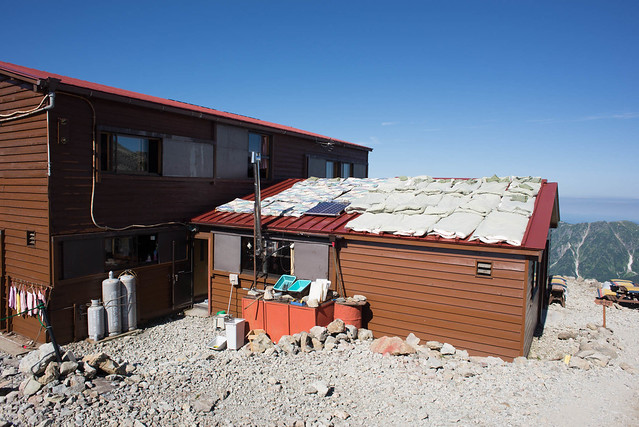
Up on the other side is a little hut, where we enjoyed some instant coffee and hand knitted donuts. That is the bedding being aired on the roof.
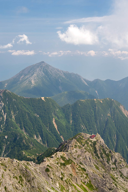
At this point James the climatologist predicted a sunny afternoon. However, jules, the other climatologist, was less optimistic and said she would photograph the Yarigatake peak with some cloud swirling in. She didn't have to wait long.
We arrived at the Yari hut in the cloud, but rather than turn straight to rain the cloud came and went for a few hours, offering some views..
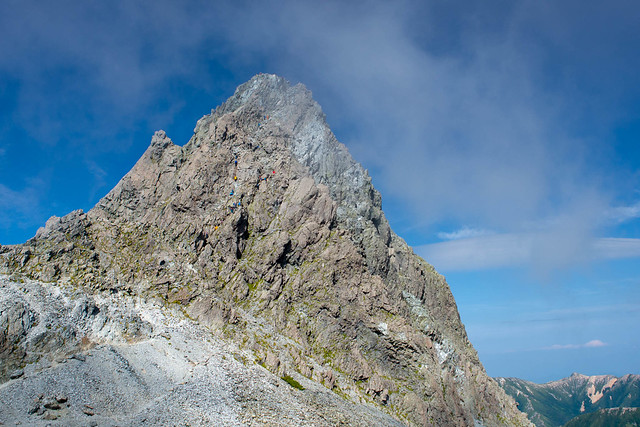
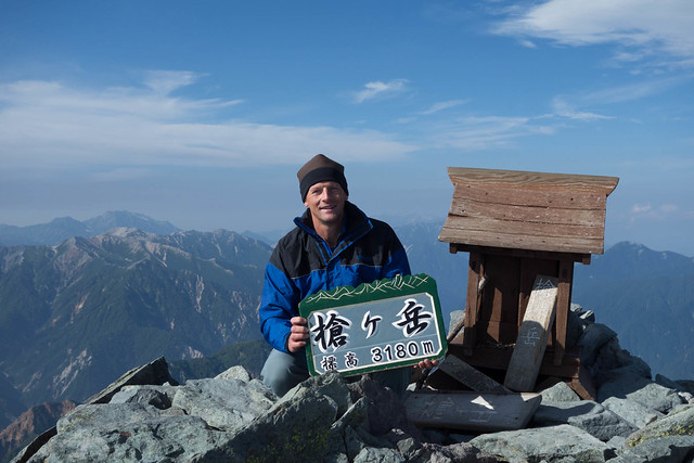
..and eventually enough clarity to encourage us to run to the top.
Looking back towards OkuHotaka
Many Japanese take up hillwalking in their retirement. By the time they get into their 70s they are as slow as snails. But on the other hand it is amazing that they are there up at 3000m at all. Here are some grockeling to the top of Yari at zero mph.
Soon after we returned to the hut, the rain started hammering down.


0 comments:
Post a Comment